Tribal Representatives Survey Impacted Area for Environmental, Cultural and Historical Significance
Through the years, NHBP Environmental staff have collaborated with local environmental organizations to monitor and protect waterways. Recently, our environmental staff teamed up with the Michigan Department of Environment, Great Lakes and Energy (EGLE) and the Gun Lake Tribe Historic Preservation Office to take a paddle survey of the Kalamazoo River. The group floated a stretch of the river about 2 to 3 miles long, starting at Merrill Park and ending at Verburg Park in Kalamazoo.

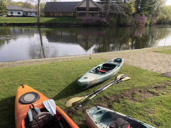
Above: EGLE & Tribal staff prepare to launch at Merrill Park in Comstock on the Kalamazoo River. The purpose of the survey was to inspect sediment released from the lowering of the impoundment. Tribal Staff from NHBP Environmental and Gun Lake THPO participated to conduct a limited Cultural Survey. GPS Data and photos collected by NHBP Staff.
In 2019, the Morrow Pond Dam located on the Kalamazoo River was drawn down for maintenance, inadvertently releasing several hundred thousand yards of sediment down the waterway over the course of a year. Now, clean up of that sediment moves forward, but not before Tribal representatives took the time to survey the impacted area for environmental, cultural and historical significance.
“While we were able to evaluate and survey environmental impacts, we were not able to review the potential cultural implications of the sediment releases,” said NHBP Environmental Specialist Eric Kerney. “We understand that the impacted area of the river is of historic and Tribal significance, with a known crossing point and Tribal villages occurring near the Michigan Avenue bridge over the Kalamazoo River.”

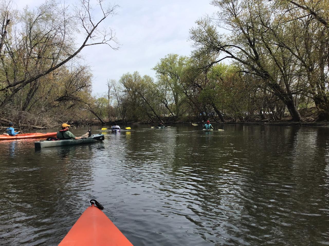
Above: Past the Michigan Ave Bridge and confluences with the Portage and Arcadia Creeks, the group flows past an area with an emergent sediment bar on the east bank.
In the past 100 years, papermill runoff and industrialization of the property along the river has left little to witness of those historical markers, leaving large impacts on the river’s natural rhythm and makeup.
“Nobody’s reported to us that they had any significant concerns with those areas that were being proposed to potentially have work done,” said EGLE Water District Supervisor Kyle Alexander. “I suspect a lot of that is because this area of river has already been so impacted over the last 100 years or so.”
The larger concern from all parties was the impact on the river’s aquatic organisms. Throughout 2020, when the Morrow Dam was drawn down, paddles of the river conducted by NHBP Environmental staff and Pokagon Tribe staff witnessed a renewal of the Morrow Pond which was created by damming the river for a hydroelectric plant in 1941.

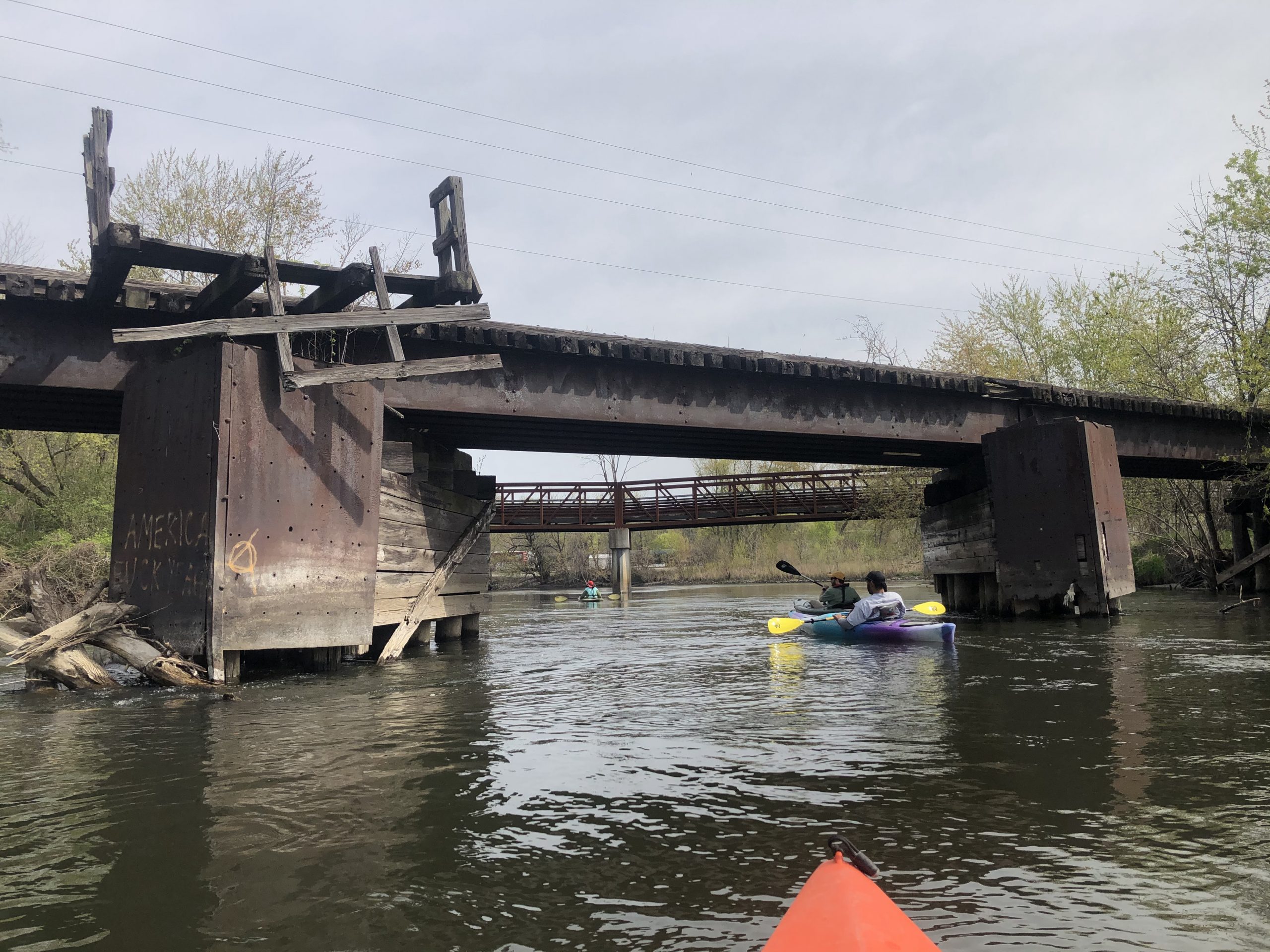
Above: NHBP, EGLE, and Gun Lake staff float underneath an old railroad trestle, with the newer Kalamazoo River Valley Trail bicycle bridge visible just downstream.
“It was fascinating to see the habitats, islands and braided river channels re-emerge when the dam was drawn down in 2019 and 2020,” Kerney said. “While it changed the prospects for Wild Rice locations in the pond itself, many long-dormant native plants began to return in and along the wetlands, and birds and other animals took to the restored habitats quickly.”
Findings aside, the collaboration between these important groups is a success in itself. As sediment cleanup continues, Alexander said EGLE will continue to collaborate with local Tribes.
“So far with the Morrow Dam issue, as unfortunate as it is that we had this large sediment release, the Tribes and some of the Kalamazoo River stakeholder groups in the area have all been, I think, very supportive, very willing to help in any way that they can with cleanup efforts, very engaged,” Alexander said. “And rightfully so. They’re concerned with what’s going on in the river. We certainly have appreciated the support and the participation.”
“In its simplest form, it really was us floating down the river and looking at things,” Alexander said. “The largest takeaway for me was that it was a great success to have those three entities working together on a project like this.”
To view an interactive story map created by the NHBP Environmental Department, visit https://nottawaseppi.github.io/kzooStory/.


0 Comments